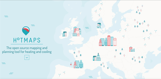
Hotmaps is an open-source heating/cooling mapping and planning toolbox with a default EU28-wide dataset at national and local level. It allows public authorities to identify, analyze, model and map resources and solutions to supply energy needs in a resource and cost-efficient way. Hotmaps can help authorities to develop heating and cooling strategies on local, regional and national scale in line with RES and CO2-Emission targets.
The overarching goal of Hotmaps is the development of an open source heating / cooling mapping and planning toolbox and to provide default data for EU28 at national and local level. These data and tool allow public authorities to identify, analyse, model and map resources and solutions to supply energy needs within their territory of responsibility in a resource and cost efficient way.
Hotmaps will help authorities to develop heating and cooling strategies on local, regional and national scale which are in line with RES and CO2-Emission targets on national and EU level. Main objectives of the project : Develop an open source toolbox (Hotmaps toolbox) that will effectively and comprehensively support local, regional and national heating and cooling planning processes. Provide a starting open data set to lower the initial barrier in using the software. Users can adapt the information and provide more accurate, large and complex data for data for a specific area. Provide a tested and user friendly open source software which is based on user needs. Guarantee wide usability, flexible adjustability and concrete application of the tool within and beyond the project duration.